


Shallow LPA brings rains in Mindanao — Pagasa


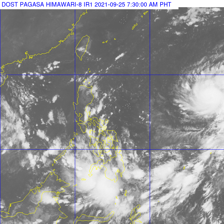
Pagasa weather satellite image as of 7:30AM
MANILA, Philippines — A shallow low-pressure area (LPA) is bringing scattered rain showers and thunderstorms in Mindanao on Saturday, according to the Philippine Atmospheric, Geophysical and Astronomical Services Administration (Pagasa).
According to Pagasa’s forecast on Saturday morning, the shallow LPA was last spotted 230 kilometers east of Davao City and may dissipate within the next 48 hours.
“Mayroon taong binabantayang shallow LPA na nakakaapekto dyan sa may Mindanao area. Ito ay currently nagdadala ng pag-ulan, pagkidlat at pagkulog dyan sa area ng Mindanao,” said Pagasa weather specialist Ezra Bulquerin.
(We are monitoring a shallow LPA that is affecting the weather in Mindanao. This is currently bringing rains and thunderstorms in Mindanao.)
Meanwhile, Bulquerin said Pagasa is monitoring severe tropical storm Mindulle that was last located 1,725 east of Central Luzon outside the Philippine area of responsibility (PAR). It is currently moving northwest at 20 kilometers per hour (kph) and is packing maximum sustained winds of 110 kph and gusts of 135 kph.
Bulquerin said that considering its speed, the severe tropical storm may enter PAR by Monday or Tuesday.
The tropical cyclone is not expected to affect the weather in the country but to only move within the boundary of PAR, according to the weather forecaster.
Forecast temperature range in key cities/areas:
Metro Manila: 24 to 33 degrees Celsius Baguio City: 16 to 25 degrees Celsius Laoag City: 25 to 33 degrees Celsius Tuguegarao: 24 to 34 degrees Celsius Legazpi City: 25 to 33 degrees Celsius Puerto Princesa City: 24 to 32 degrees Celsius Tagaytay: 22 to 31 degrees Celsius Kalayaan Islands: 25 to 32 degrees Celsius Iloilo City: 25 to 31 degrees Celsius Cebu: 26 to 32 degrees Celsius Tacloban City: 25 to 32 degrees Celsius Cagayan De Oro City: 24 to 32 degrees Celsius Zamboanga City: 24 to 32 degrees Celsius Davao City: 25 to 32 degrees Celsius


